Google Maps 2
So I've taken the plunge with Picasa. Installed on PC that only has a few pictures on it reducing my worries about privacy greatly!
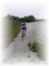
And I have tried out adding a photo to the Google map for the Cassop Vale route, and it seems to work!
This is a "good thing" : it resolves many of the problems that I had encountered when trying to work out how to mtb routes here. Using Google maps means that these can be viewed easily, linked to, printed off easily, turned into jpeg relatively easily and you can even get directions to any point on it, meaning that for loops the "start" can be anywhere you want it to be.
This whole project is taking a lot longer than I ever imagined but now I feel some progress has been made.

No comments:
Post a Comment